The organization of each settlement adapts to the constraints imposed by the natural environment while at the same time taking advantage of the opportunities it offers.
According to Dr. Ioannis Nerantzis, to create and make an agro-pastoral settlement sustainable, possibilities for establishing a permanent residence must be ensured, either in a lowland location or on a slope at an altitude of up to 1000 m and in a position sheltered from winds. There must be easy access to water, either a stream or a spring. And, of course, there must be vital productive space for the necessary subsistence-nutritional goods of the Household Economy: grains, legumes, vines, and pastures.
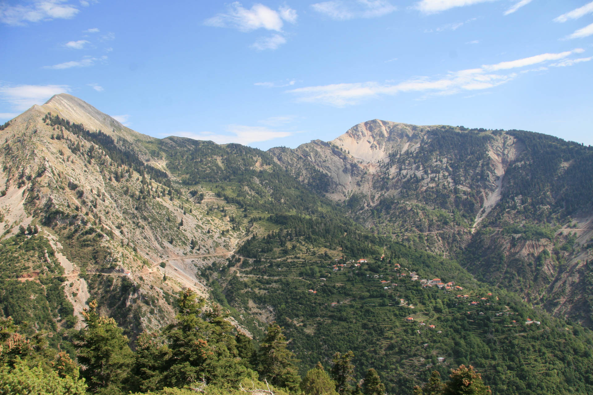
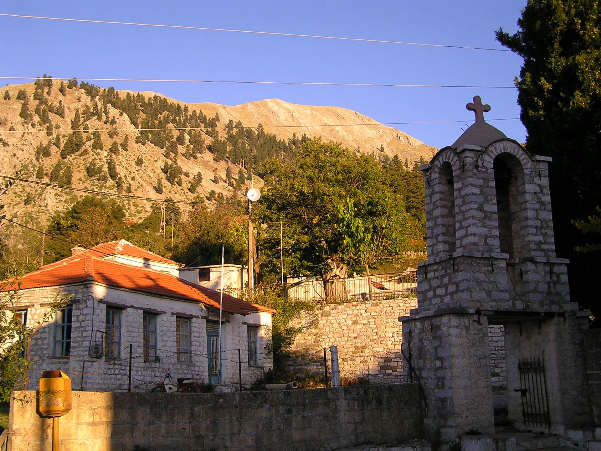
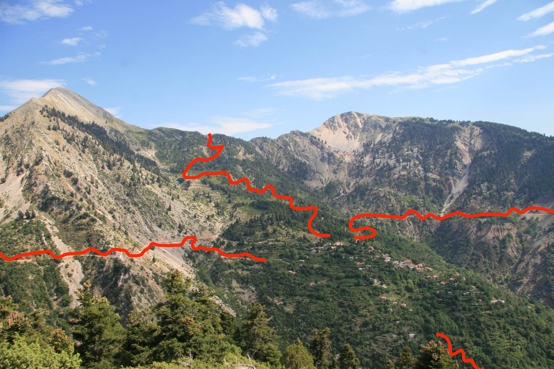
Argyro Pigadi confirms the application of the above principles. It rises, at an altitude of 1000 meters, on the sunny and windless southeastern slope of Triantafyllia (Rosebush), with a height of 1817 meters and a toponym referring to the many wild roses that beautify it.
Architect Christos Katsimbinis observing the village from the Temple of Saint George in a sketch in 2002, sees it sheltered under the wings of a giant eagle. One is Triantafyllia, and the other is Great Isoma – Vamvakia.
The southeast orientation of the village makes it sunny. The sun rises early in the morning and stays till the afternoon. It helps to melt the snow, thaw the ice, grow the plants, and ripen the grapes. It gives warmth in the winter months, making life in the village possible during winter.
“I knew the new village. We passed through Kοusina on the other side and saw it. It is Argyro Pigadi. Oh, I say, how lucky, there is no snow. We had snow in our village, a lot …” says Maria Karageorgou, who came to the village as a bride from Evritania.
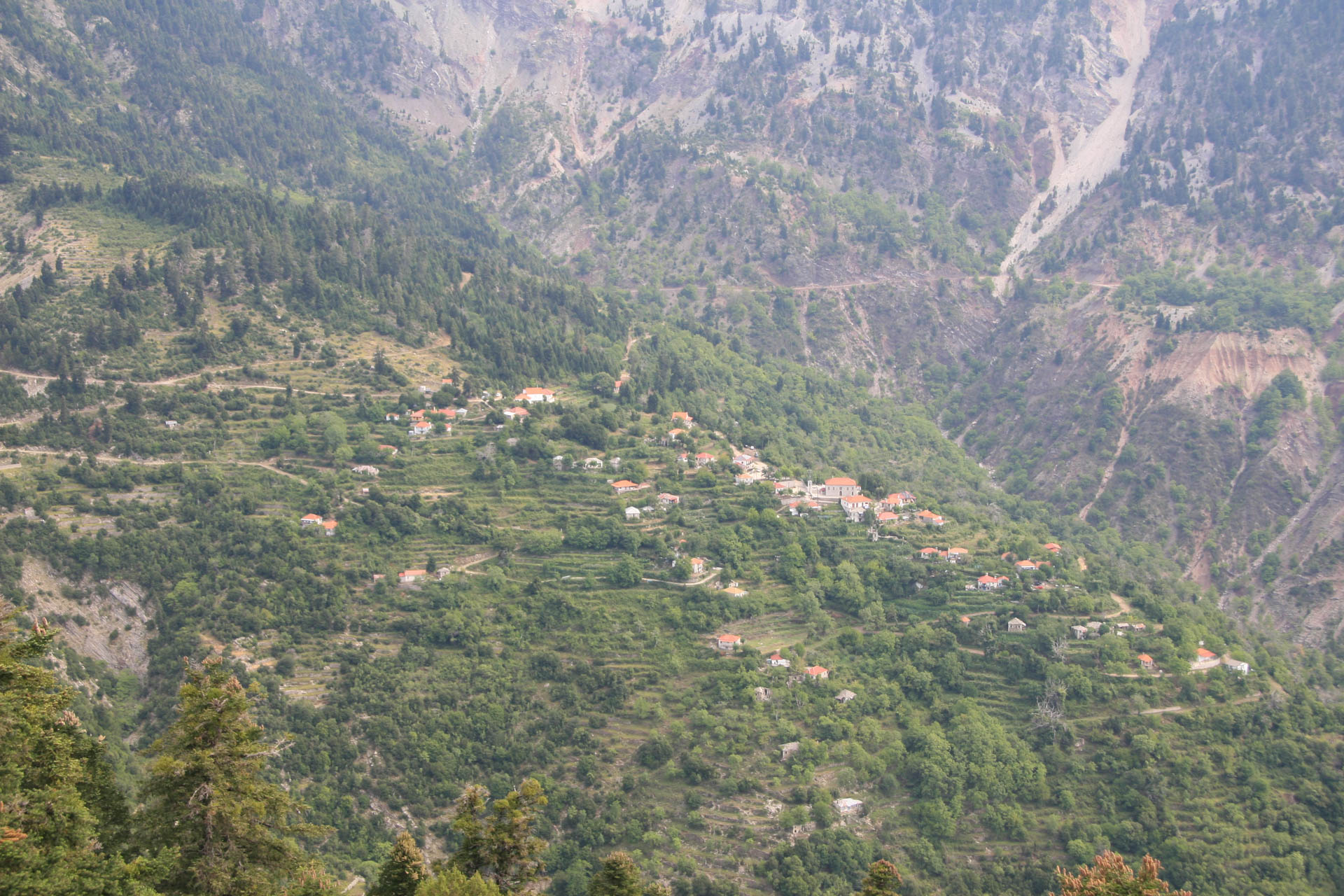
At the same time, the village extends to the center of a geographical basin, which provides adequate security and solid soil for the settlement organization while ensuring the conditions of a minimum vital productive area. It has several water sources, firstly for drinking and secondly for irrigation.
The slopes, part of the Pindos Mountains with specific features, can give arable land if shaped in terraces.
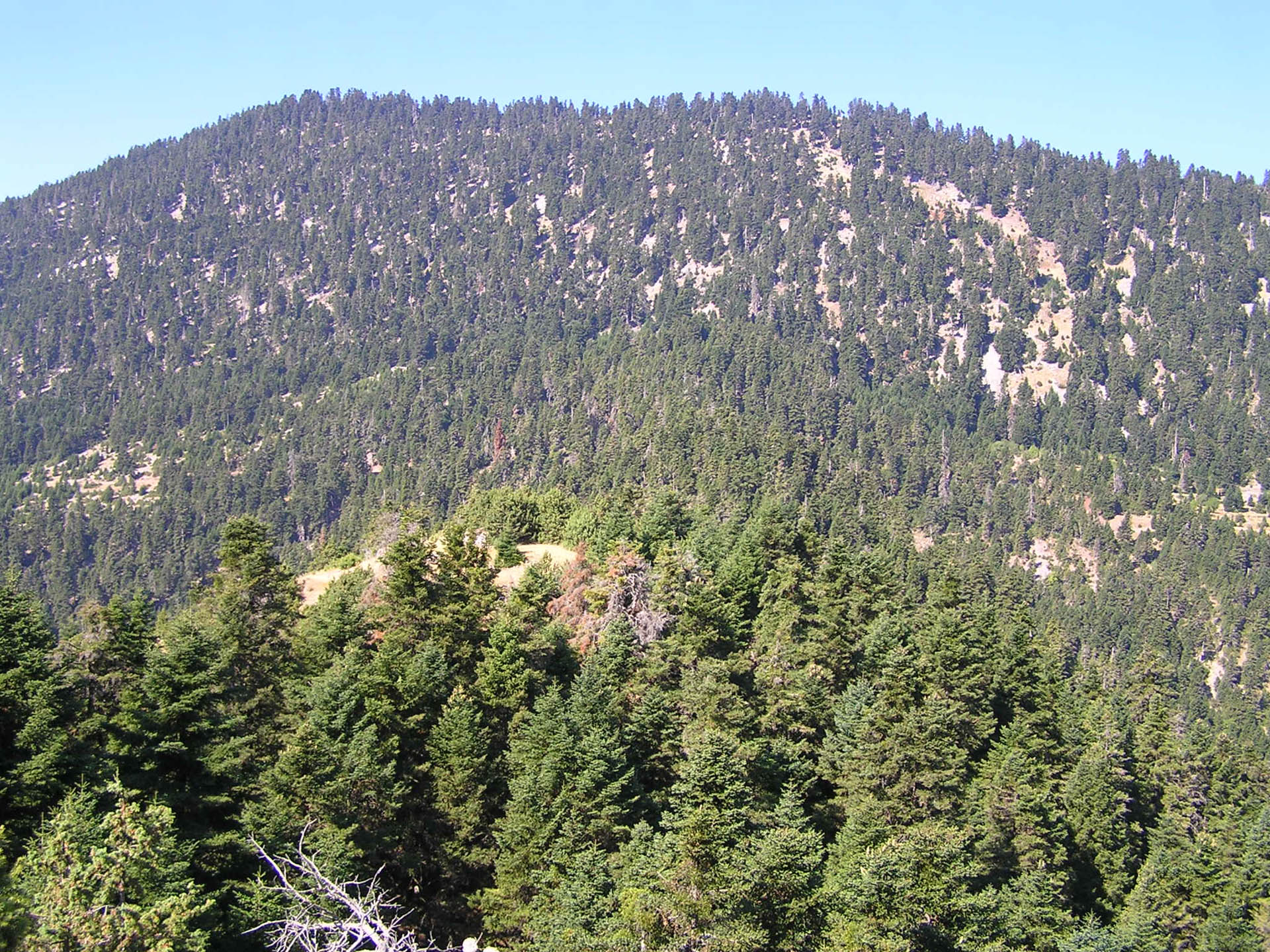
The surrounding mountains determine the extent of the pasture, a critical parameter for the village’s survival, and the size of the forest to which the village’s inhabitants will have access.
The place’s morphology imposes the settlement building on three rows. People build houses where the soil is more stable because there is always a risk of landslides on the mountain slope.
It is a concentrated village because it serves the needs of its inhabitants more effectively, such as clearing the roads from the snow. The school was rarely closed due to snow; much more, there was not such a case for the mass at Saint Demetrius church. On a snowy morning, every household cleared the snow from their part of the road. So, in a short time, the whole network of village roads was open again.
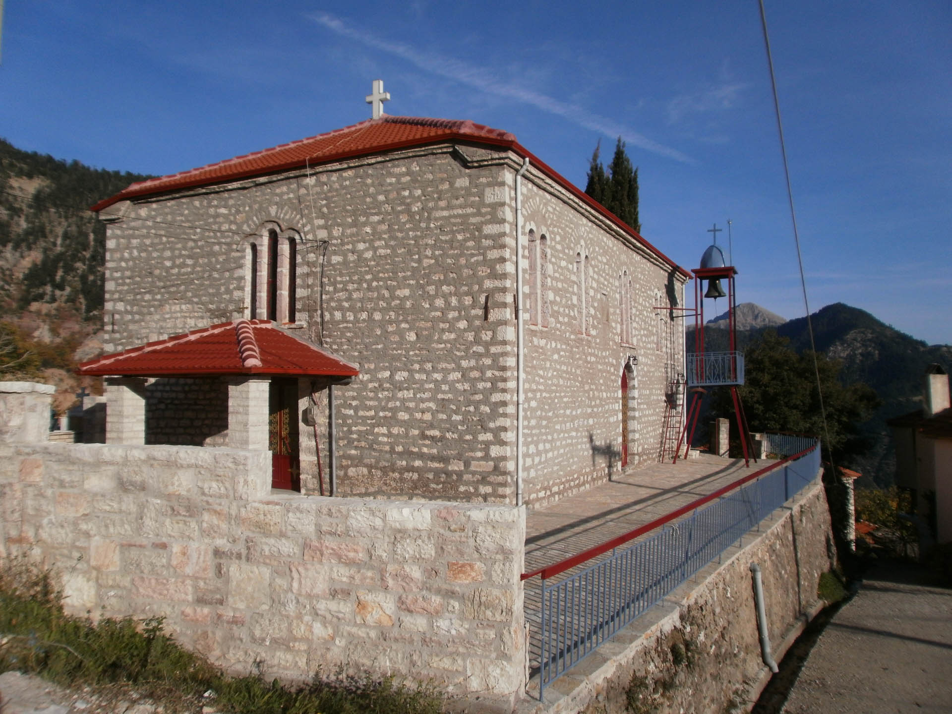
In the center of the village, on a prominent site, probably built on the ruins of an ancient temple, stands the church of Saint Demetrius, the village’s patron.
The village inhabitants built their school and churches on their own money. There was also a donation from the Tsaparis family, who had emigrated to America for the Saint Demetrius church, but that was not enough. All villagers needed to contribute. No person alone could finance this project. But if everyone donates, it can be achieved. They contribute financially but also offer their labor. It is a way of thinking that has been transformed into a lifestyle and mode of action in this village and continues to define the thought of those who live, love, and are inspired by this place. It is the way they become proud of their work and their community. Whatever they make by themselves, they love and protect it.
The school and the church are significant to the small village community. They are both places of knowledge and worship but also meeting places. In front of St. Demetrius’s church after the mass, the villagers meet, discuss, and co-decide. In the ancient Greek sense, the church courtyard transforms into a Pnyka that houses the Ekklesia.
The bell of Saint Demetrius’s church invites the congregation to worship events and students to school and announces death events and danger. It asks the villagers to help deal with urgent situations or attend an extraordinary meeting.
Next to Saint Demetrius’s church, there is a cemetery. One can explain its location within the village due to the difficulty of transferring the dead away or as a desire to light the oil lamp and a candle in their memory. At the same time, it leads to acceptance and compromise with death.
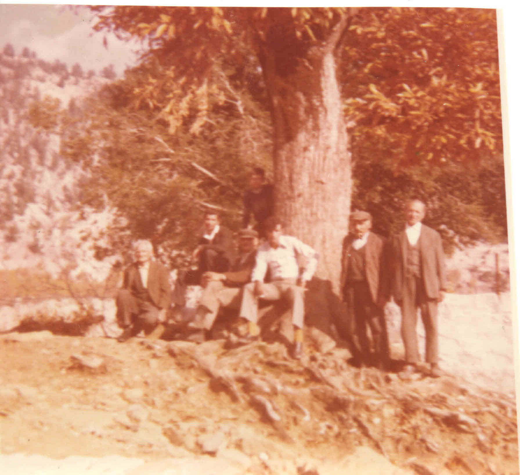
The sizeable earthen cistern was in the center of the village. Its central location demonstrates the value and importance of water as an essential element of their life. The surroundings of the cistern were also a meeting place, especially for men. Sitting on its edge, watching the water level going down or under the shade of the three big chestnut trees that shaded the area, they lit a cigarette, discussing their jobs and the village news, especially the growth of the crops.
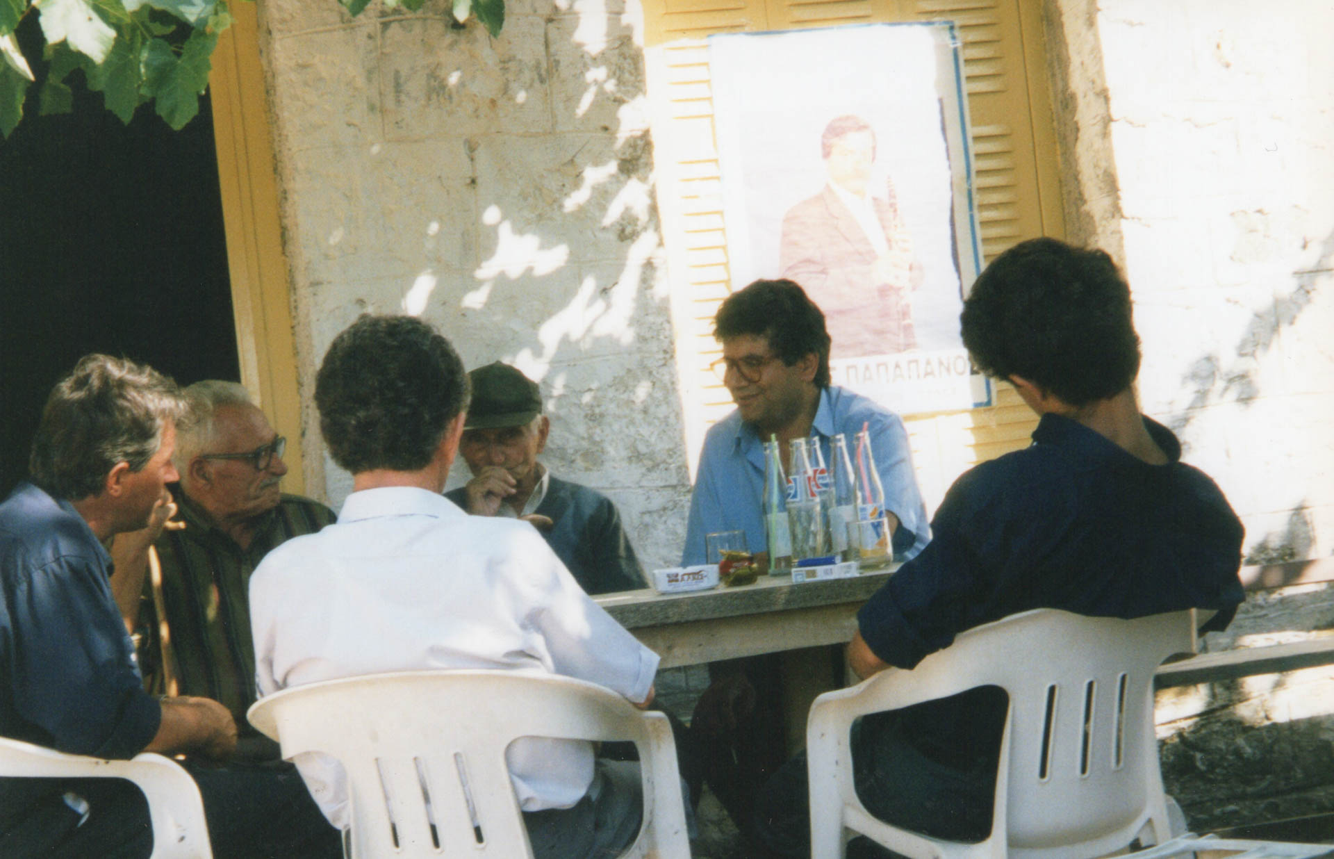
The two village cafes -groceries were integral to the village’s social life. They covered with the goods they sold the daily needs of the inhabitants and were places full of life. They contributed to the cohesion and functioning of the village.
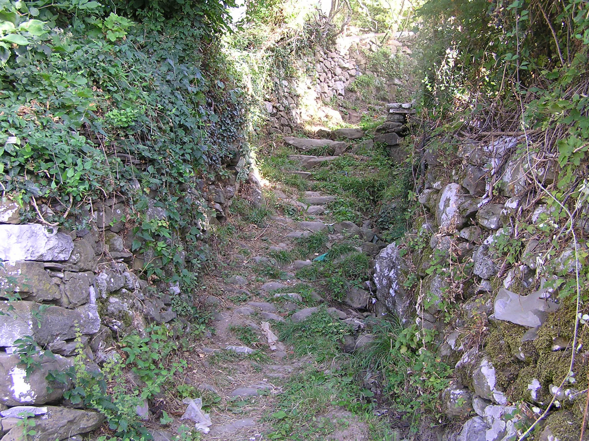
A network of alleys served the village. The paths lead to the village center, school, and church from all neighborhoods. In the uphill sections, the paths are made of cobblestone. They are thus more stable and not slippery when it snows.
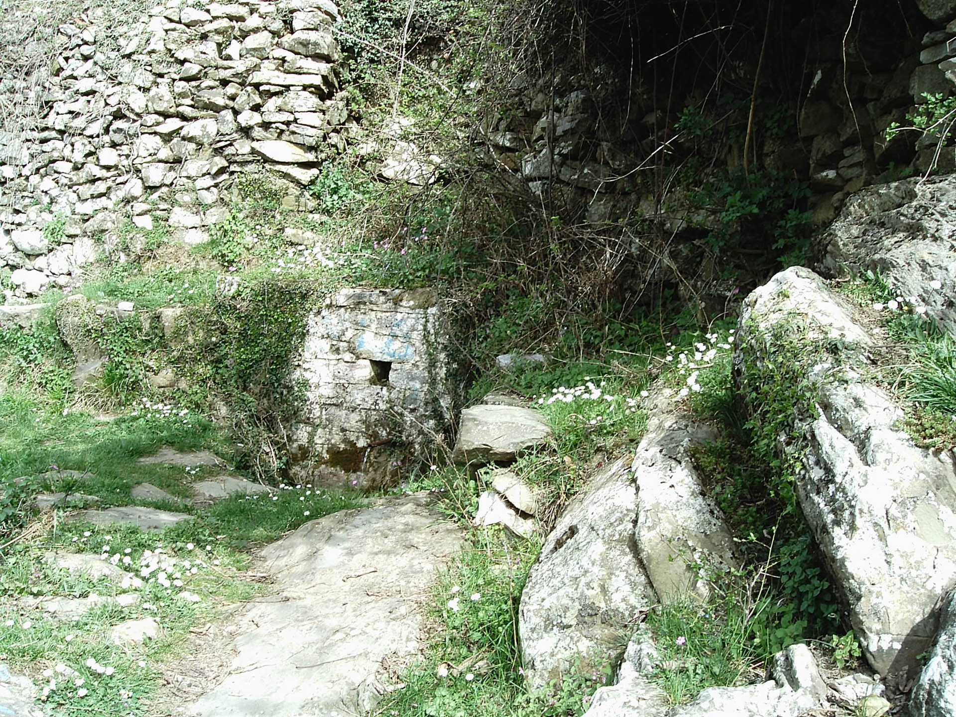
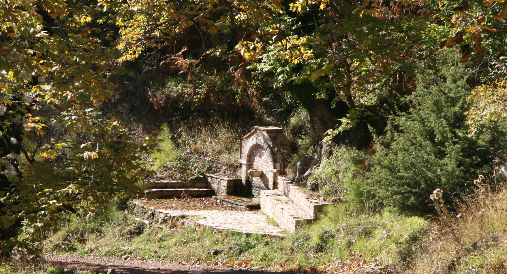
The other two springs were “Kalokerini,” east of the village, and “the Rema of Scala,” west. In 1963, the second spring supplied most of the village with water. In the 1980s, the Gardikiotis and Vasiliki springs fully covered house water and irrigation needs.
A network of roads ensures communication with the neighboring villages. The whole community is responsible for caring for the roads, and it is usually done by individual work, mandatory for all.
The community takes care of the roads to the neighboring villages up to its borders. The neighbors do the same from their side.
The family and professional relationships between the villages always imposed access through the roads. The streets that connect the village with the market towns of the area, Proussos in older times and mainly Thermo, are particularly taken care of.
The building of the roads highlights people’s close relationship with their natural environment. The choice of a route considers the stability of the terrain, the risk of landslides and rock falls, if it closes due to rain and snow, the slope of the road, and, of course, the distance. They must build the streets and trails with many turns, «kagelia». A typical example is the path, a “snake” path, to the mill. It takes longer to get there, but it is a less demanding route. The turns make the road accessible.

